Live marine intelligence for tournament captains
Shape the future of tournament fishing.
Try FishEdge free this season — limited to the first 100 users.
See the edges captains look for.
Built for tournament captains. Shaped by your feedback.

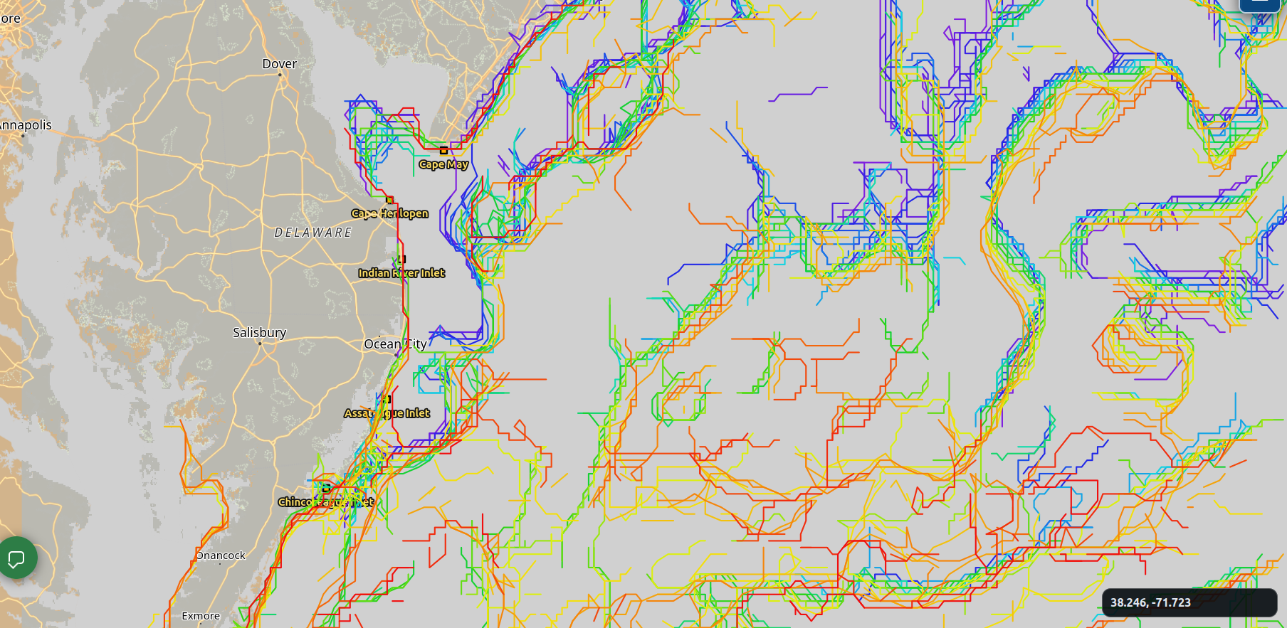
See the edges in real time
No need to play with color scales — FishEdge pinpoints the temperature breaks for you. Click any example frame to see more details.


Live data, not stale fillers
We show the latest available ocean conditions — not recycled placeholders or yesterday’s picture dressed up as today’s.
Signal from the noise
FishEdge processes vast amounts of marine data and surfaces the edges that matter, so you can act without getting overwhelmed.
Save your spots
Pin the places that matter. FishEdge watches them so you don’t have to.
Built with captains
The pilot is open to tournament captains across the East Coast. Tell us what works.
About FishEdge
FishEdge started with one angler's frustration: burning fuel to find a bite that was there yesterday and gone today.
We pull satellite oceanography, current models, and live chlorophyll into one map — temperature breaks, color lines, current rips, Gulf Stream position — then extract the most important edges so captains start with the current picture, not last week's.
The Captain Pilot is open through the 2026 season. Read the full story →
Get in touch
Email captains@fishedge.live for pilot access, partnership, or feedback.